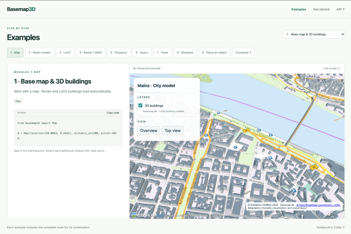
Basemap3D Create interactive 3D city maps with a few lines of Python. Combine city models, imagery, trees and your own geospatial data; display in Jupyter or Colab, or export as HTML. Examples → · GitHub
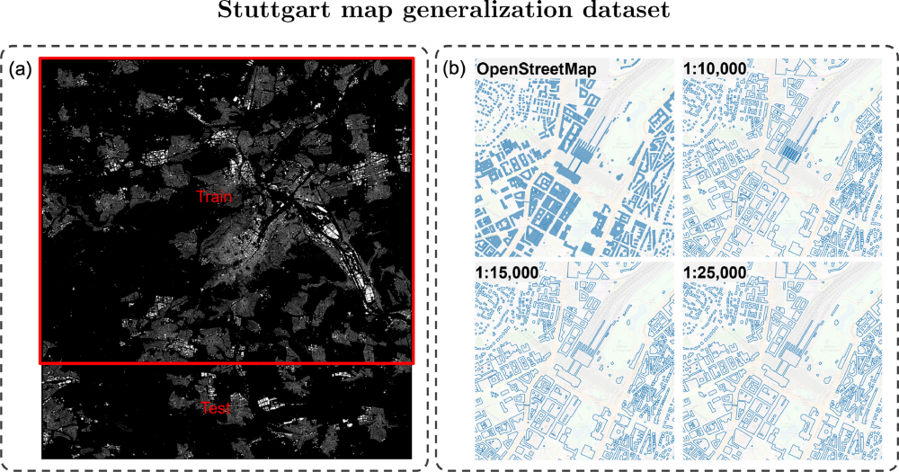
MapGen Raster and vector datasets for learning cartographic building generalisation. The repository includes data access instructions and citation details. Dataset & repository →